Additional information
| Weight | 9 lbs |
|---|---|
| Dimensions | 22.5 × 2.25 × 2.25 in |
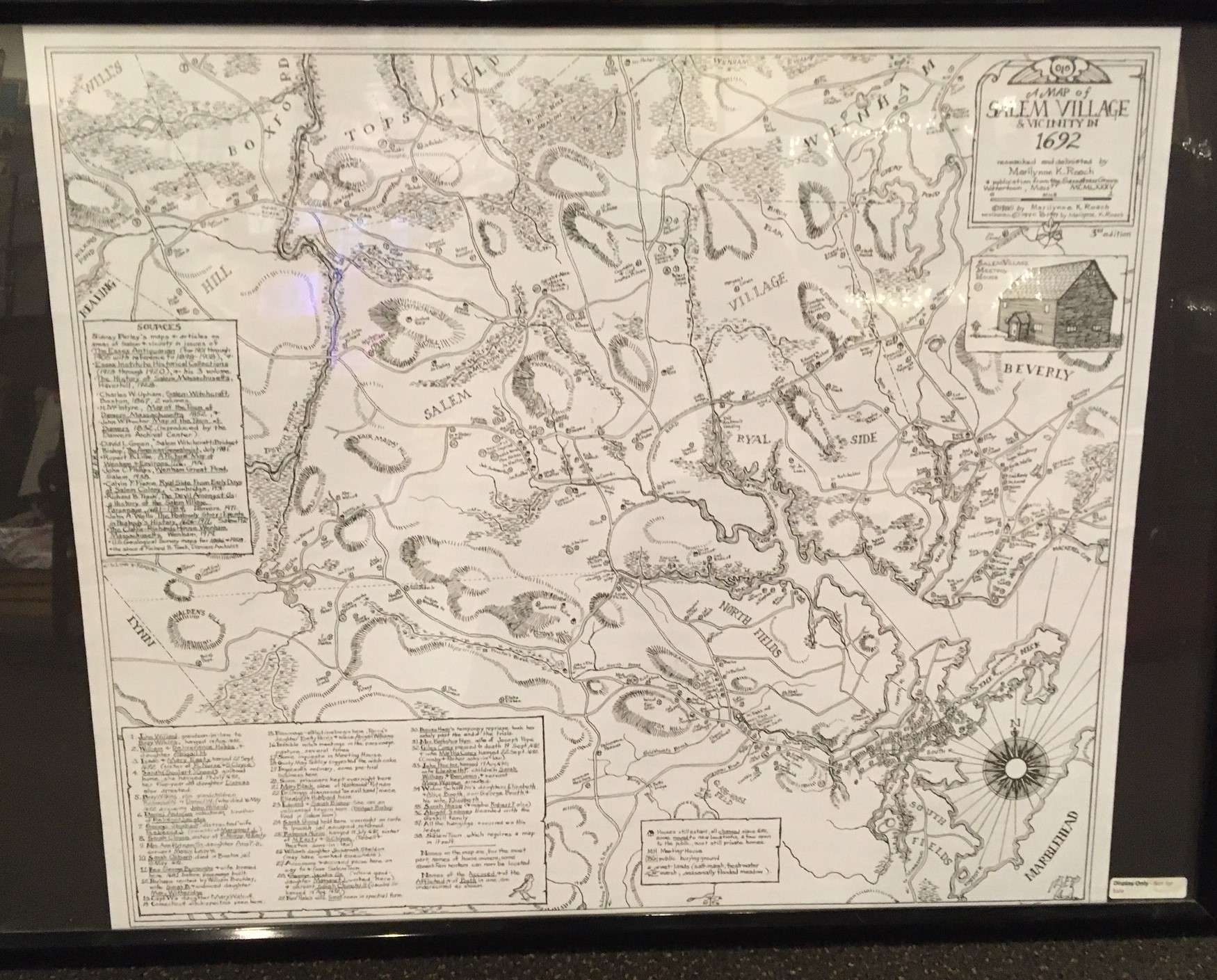
This beautiful hand-drawn map was researched and delineated by historian Marilynne K. Roach, author of The Salem Witch Trials: A Day-by-Day Chronicle of a Community Under Siege and Six Women of Salem: The Untold Story of the Accused and Their Accusers in the Salem Witch Trials. This map includes present-day Danvers as well as parts of Beverly, Middleton, Peabody, and Salem. Sites of people and places related to the witch trials are numbered and described. This map measures 18.5″ x 22″.
*The dimensions provided below are shipping dimensions. The weight has been artificially increased to reflect a USPS surcharge on long packages.
$7.00
| Weight | 9 lbs |
|---|---|
| Dimensions | 22.5 × 2.25 × 2.25 in |